 0
0
-
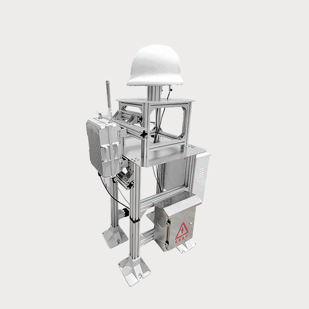
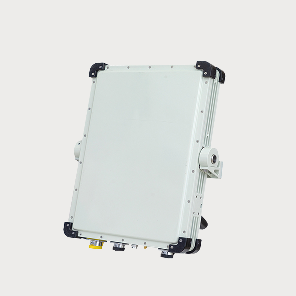
It can be assembled and used with our company's UAV machine gun to form a more powerful comprehensive defense system. Detection frequency bands
- Detection radius distance 2000m The device has strong scalability, can play a wide range of applications in a variety of scenarios, simple installation, easy operation, detection frequency band 1.0GHz~1.5GHz/2.4GHz~2.5GHz/5.15GHz~5.95GHz。
- $ Inquiry
- 0 in Stock NowJR-MD1109
-
GROUP
SKU
-
QUANTITY
- Contact Online
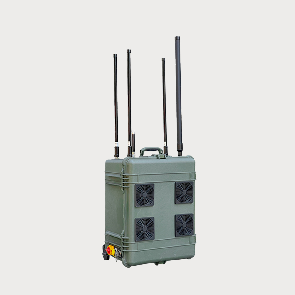
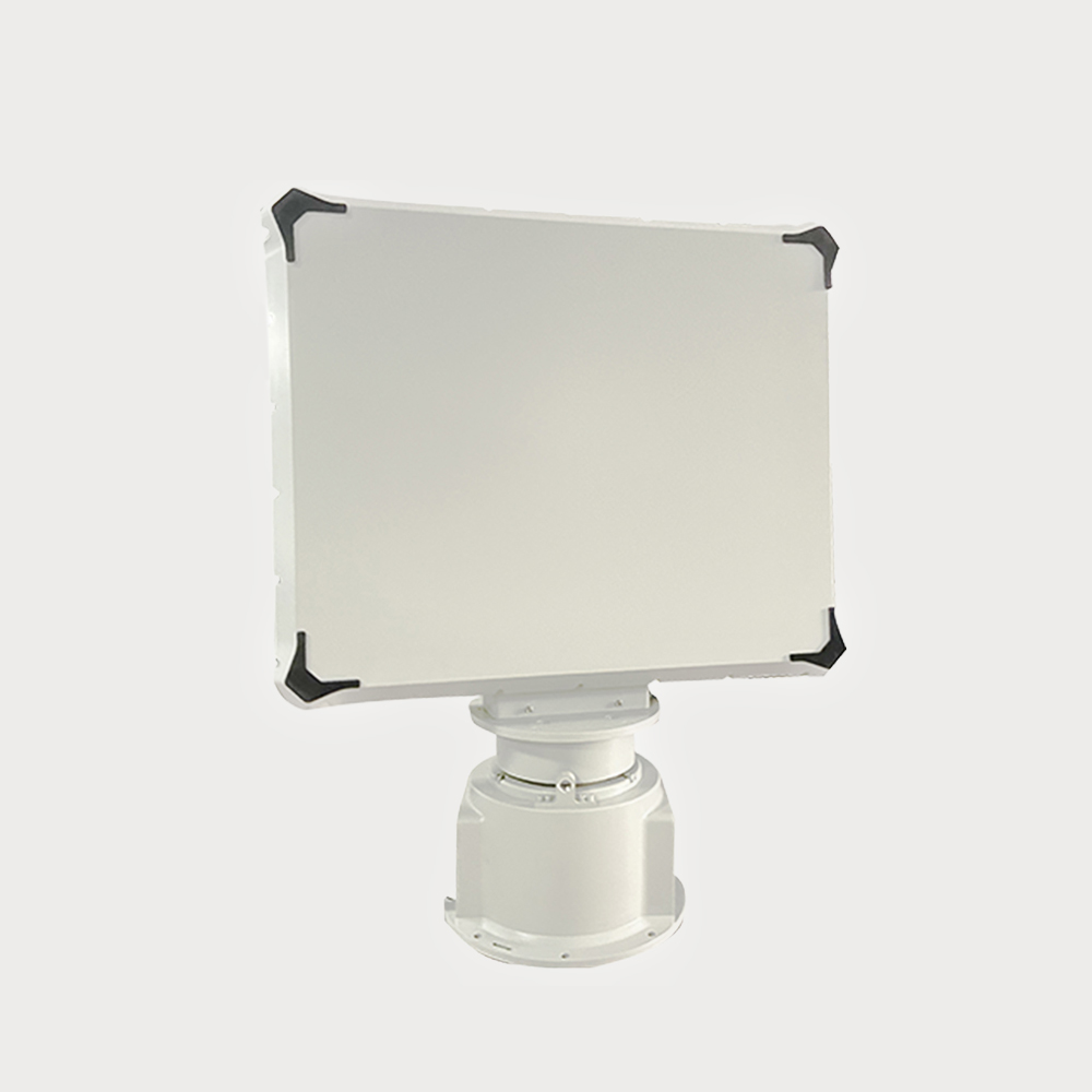
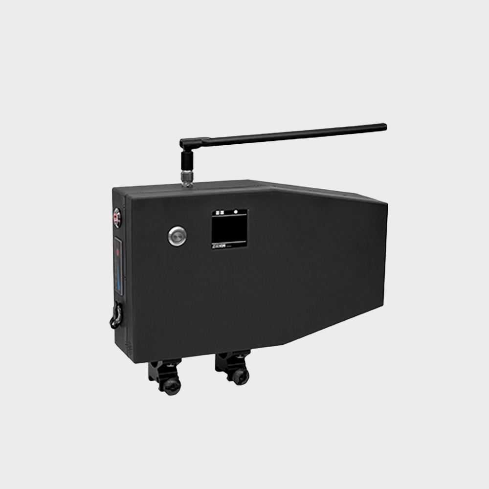
Advantages:It has powerful direction-finding function, strong expandability, mobile use and fixed installation
Description:Portable detection equipment is very flexible to use, can be quickly deployed in a variety of complex environments, the device has a powerful direction finding function, lightweight, flexible, durable and reliable advantages.
Application Fields:It is suitable for UAV defense areas such as individual soldier carrying and field and activity site, and can be assembled and used with our company's UAV shooting machine gun to form a comprehensive defense system.
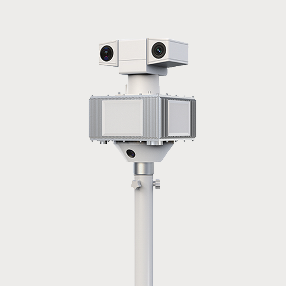
multidetectorReal-time detection of UAVs wireless communication frequency band ensures high accuracy of target Angle measurement and ranging
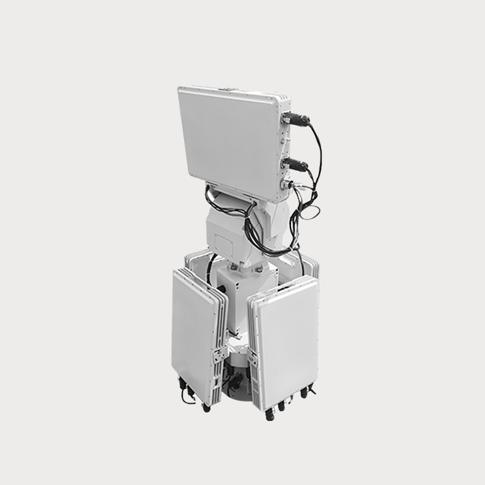
Long battery lifeBuilt-in high-quality battery, the battery life can reach more than 8 hours, a single charge can meet the needs of all-day detection.
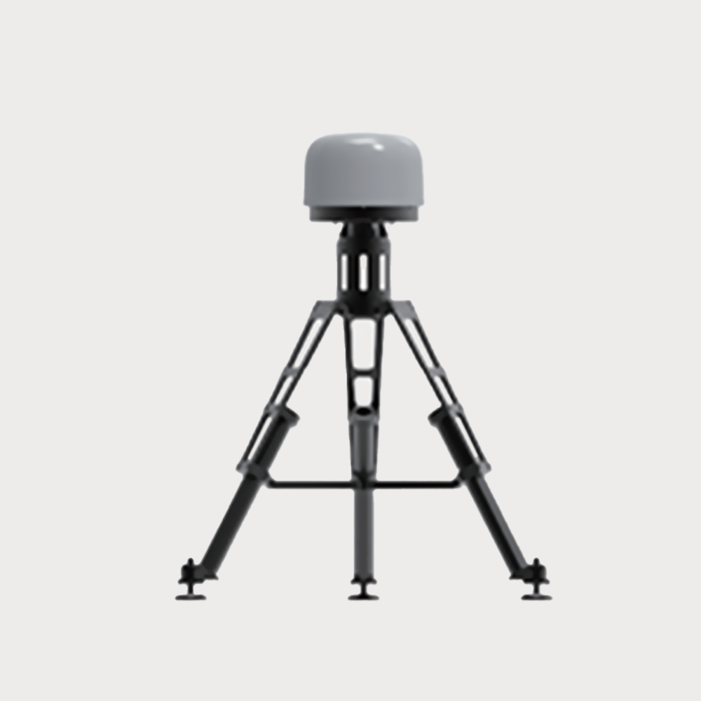
High flexibilityCan be fixed on the counter gun, can also be independently deployed and operated, handheld field monitoring, can be quickly deployed in different scenarios detection use.
Wide detection rangeThe device can be fully 360° accurate direction finding to assist the operator to determine the specific orientation of the UAV, and the detection distance can be up to 2km.
Visual displayThe detected signal is a visual image, and the frequency, signal strength and flight orientation of the UAV are understood by observing the waveform changes on the display screen.
High detection accuracyThe Angle measurement and ranging accuracy of the target is high, and it can also maintain high precision detection under complex electromagnetic environment, providing accurate detection position.