
0
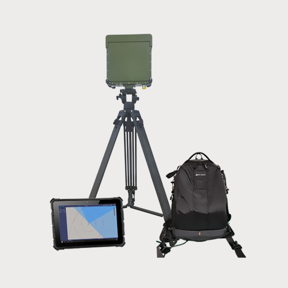
  • The system passively intercepts the image transmission signal and remote control signal to achieve passive detection, sideways, distance and identification of the UAV
  • The system passively intercepts the image transmission signal and remote control signal to achieve passive detection, sideways, distance and identification of the UAV
  • The system passively intercepts the image transmission signal and remote control signal to achieve passive detection, sideways, distance and identification of the UAV

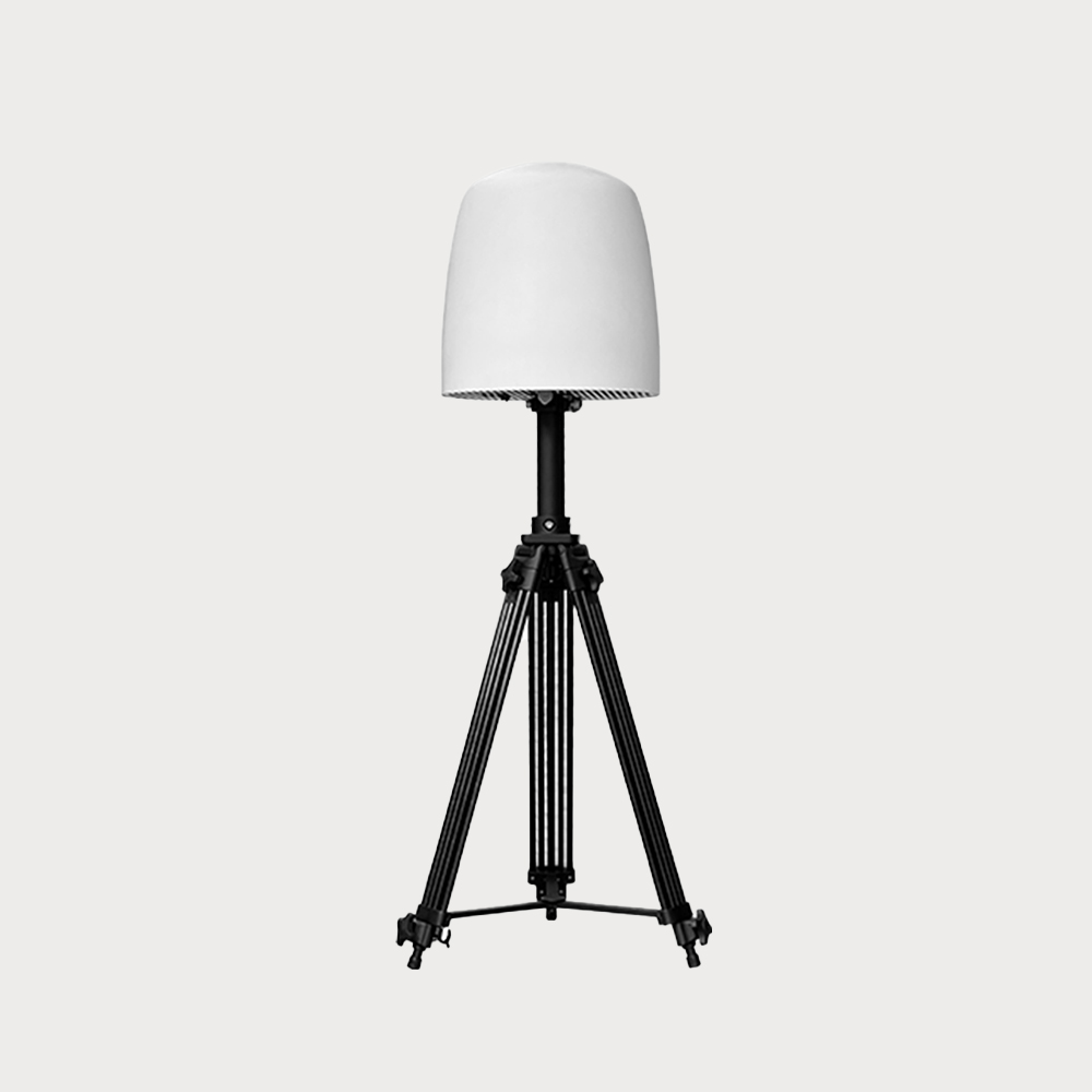
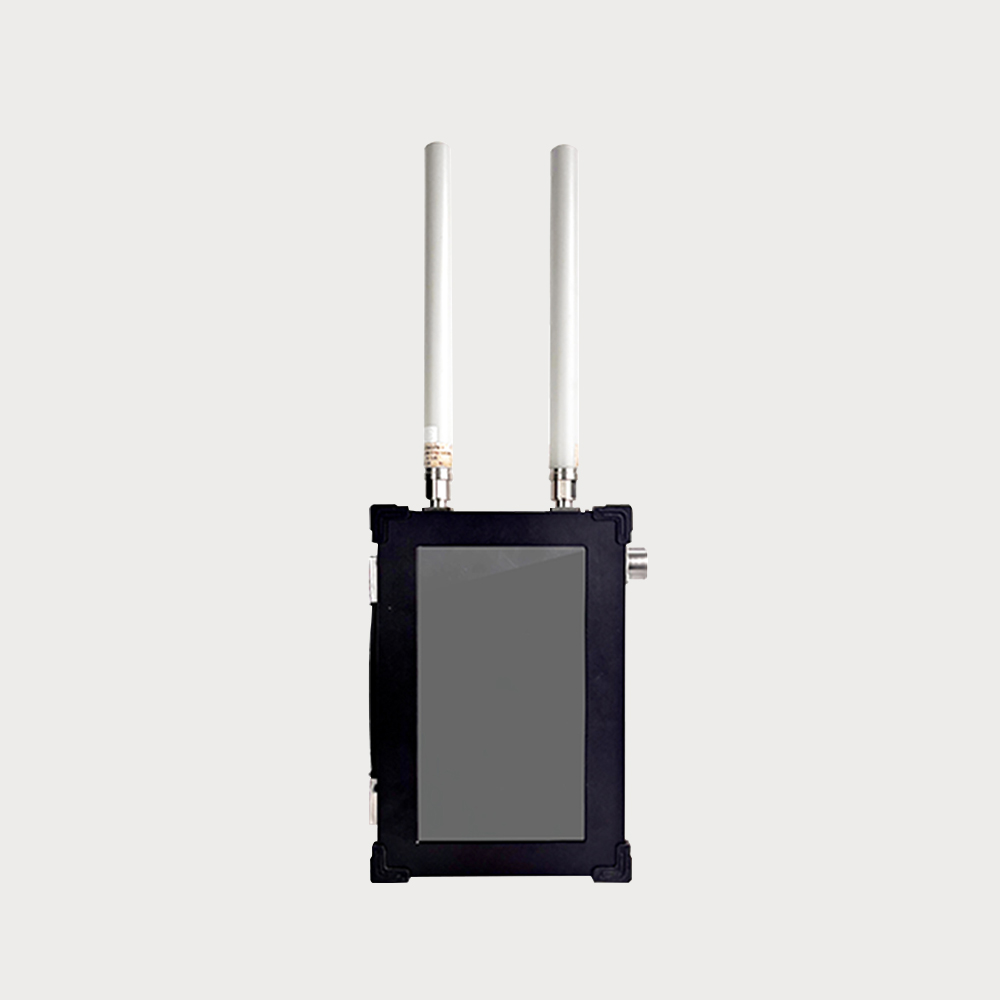
  • It is used for the detection and early warning of UAVs beyond the visual range, which solves the disadvantages of the current UAVS detection equipment, such as large size, high weight, high cost and high power consumption. The system passively intercepts the picture transmission signal and remote control signal between the UAVs and the remote control, and realizes the passive detection and early warning of UAVs. In the flat and unobserved open area of DJI Spirit 4, the farthest detection and positioning horizontal distance of the drone reaches a radius of 7.5KM.
  • $ 124900
  • 0 in Stock NowJR-MD1117
  • GROUP

    JR1117

  • QUANTITY

  • Contact Online

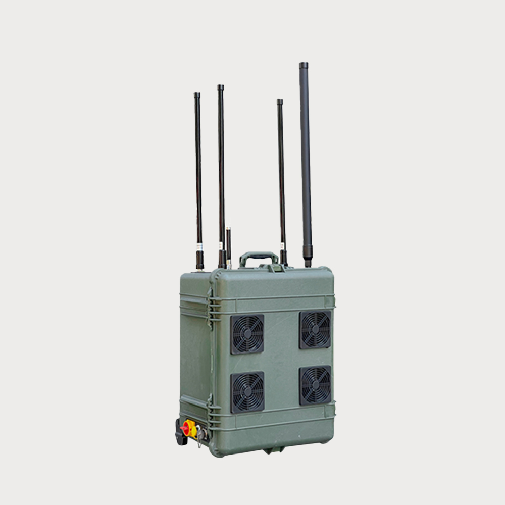
The equipment is mainly used for UAV detection, identification and orientation; It can be freely combined with drone countermeasure equipment or decoy equipment to form a defense system.

Advantages:full-band monitoring, omnidirectional 360° dead-angle-free detection, detection distance ≥15KM, covering more than 95% of mainstream drones in the market

Description:The radio spectrum monitoring system passively intercepts the graphic signals and remote control signals between the drone and the remote control to achieve passive detection, profiling, identification and positioning of the drone

Application Fields:The equipment is suitable for power plants, petroleum and petrochemicals, aviation airports, activity sites, breeding farms and other areas of essential low-altitude protection.

• Whitelist and Blacklist: Ability to set whitelists and blacklists for specified drones.

• Unmanned Operation: Once fully automatic defense is activated, the system can operate in an unmanned mode, autonomously detecting. When equipped with a strike system, it automatically activates the strike mode.

• Remote Controller Recognition: Capable of recognizing ≥12 different types of non-DJI model aircraft drone controllers at one time.

• Precise Identification: Capable of precisely identifying the model and unique electronic fingerprint of drones, and simultaneously recognizing ≥35 different brands of drones and their corresponding IDs (identity verification).

• Advanced Early Warning Capability: No need for the drone to take off; detection is possible as soon as the drone is powered up on the ground, providing advanced early warning.

• Networked via Server: Multiple devices can be networked through a server to monitor each device's online/abnormal status and control devices, including but not limited to viewing the device system interface, receiving alarm messages, viewing the whitelist and blacklist, and activating defense functions.

• Visualization of Controlled Areas: Through a visual operation, directly plot the drone defense area.

• Multi-Target Discovery, Direction Finding, and Location: Capable of performing direction finding on multiple drones simultaneously and displaying information of multiple targets on the map simultaneously.

• Supports Online and Offline Map Switching, Street and Satellite Map Switching.

• Sample Creation and Automatic Recognition: The system has a built-in sample database, including characteristic data of known mainstream drone manufacturers, continuously updated. It automatically analyzes the parameters of detected targets, identifies the type of drone (brand, model, etc.) based on the built-in sample database, and can create a unique electronic fingerprint archive for the drone type based on the identified parameters for later alarm use. It can also distinguish drones of the same brand, model, location, and altitude.
You May Be Intersted
It has the characteristics of good detection and countermeasure performance, long working distance, no need for personnel to be on duty, and automatic drone detection and countermeasures

It can make the UAV hover in situ, forced landing or return, effectively prevent the UAV from entering the defense area, and ensure the safety of low-altitude airspace

The system adopts the design of detecting and fighting as a whole, scientifically combining the drone detection and countermeasure system, mainly used for detecting and recognizing the drone in flight status and jamming and countermeasure, which can make the drone hovering in place, forced landing or returning to the flight, effectively preventing the drone from entering into the defense zone and guaranteeing the safety of low altitude airspace, with good detection and countermeasure performance, long working distance, no need to be guarded by the personnel, and automatically carrying out the detection and countermeasure of the drone.

$138800
It can make the UAV hover in situ, forced landing or return, effectively prevent the UAV from entering the defense area, and ensure the safety of low-altitude airspace

The system adopts the integrated design of detection and fighting, which combines UAV detection and countermeasure system, and is mainly used for detection, identification and interference countermeasures of UAVs in flight state.

JR-MD1138 for one system (full frequency) by drone detection (spectrum monitoring) system and radio interference system, using the integrated design, combining drone detection and counter system, mainly used for flying state of drones detection identification and interference counter, can make the drone situ hover, crash landing or return, effectively prevent the drones into the security, low-altitude airspace, with good performance, working distance, no personnel unattended, automatic uav detection counter.

$263570
Lightweight and Portable Unattended Multi-dimensional Accurate Detection Advanced Technology System

Low-altitude surveillance radar is a 3D space surveillance radar for low-altitude, small targets, all-round, high-altitude coverage areas

Low-altitude surveillance radar is 3D space surveillance radar that aims at low-altitude small target, all-around, high elevation coverage area. It is mainly designed for real-time detection and tracking of air vehicle, ground human and vehicle target. Then target information will be transmitted and reported to management and control center. It can be installed by long-term fixed, vehicle mounted and temporary deployment, flexibly apply to different application scenarios.

Inquiry
The system is easy to operate, has a wide range of defense, and can be networked and controlled, and can be operated continuously. multispectral imaging ranging photoelectric

Round-the-clock, full-screen, all-time automatic fast locking and precise tracking with a multispectral camera system

Multispectral imaging ranging photoelectric, tracking, prevention and control integrated system, integrated uncooled long-distance passive infrared thermal imaging detector, telephoto visible light fog-transparent high-definition network camera, intelligent identification module, servo heavy-duty PTZ, Beidou positioning in one, to achieve multi-spectrum, multi-channel day and night complementary imaging, in low illumination, bad weather, night 24 hours day and night monitoring. Through the integrated prevention and control platform, it can remotely carry out automatic or manual rapid and effective disposal of suspicious targets, which is easy to operate, has a wide range of defense, and can be networked for control and continuous operation.

Inquiry
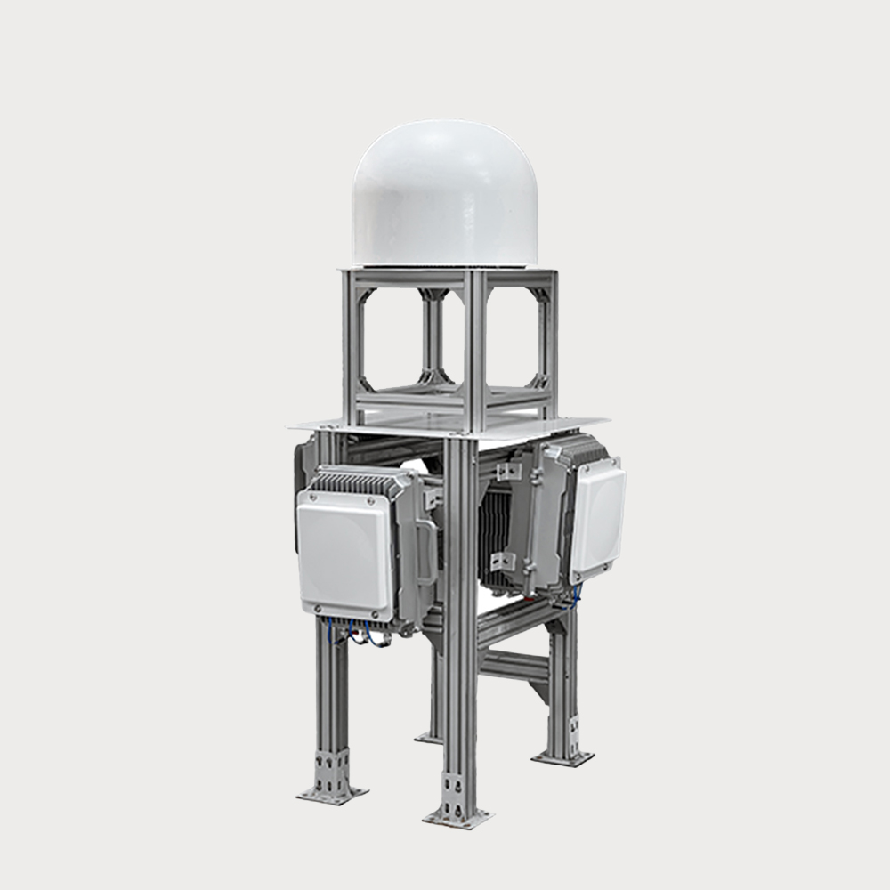
The radar host is mainly composed of four independent radar fronts and an integrated control box, which is mainly used for the detection, early warning and target indication of UAVs in the monitoring area

and 360 degree all-round coverage.

The radar host is mainly composed of four independent radar fronts and an integrated control box, which is mainly used for the detection, warning and target indication of UAVs in the monitoring area, providing real-time, accurate and continuous air situation and target information for the monitoring system and providing security.

Inquiry
High Real-time And High Sensitivity Strong Environmental Adaptability  DBF Technology Phased Array Technology

can accurately provide target trajectory information.

This air surveillance radar is mainly used for the detection, warning, and target indication of drones in key areas such as borders, airports, and military bases, and can accurately provide target trajectory information.

$221960
The power advantage is used to make the UAV navigation system receive an analog navigation signal with false position information

Drone decoy jammers emit simulated satellite navigation signals through simulation Drone decoy active defense system

JR-TSL1186 series UAV decoy jammer simulates the satellite navigation signal by simulating the transmission, competes with the satellite signal in orbit, uses the power advantage, makes the UAV navigation system receive the simulated navigation signal with false position information, makes the UAV "lost" in the control area, can not fly according to the predetermined track, can make the UAV produce the effect of driving away, forced landing, or unable to take off.

Inquiry
The drone navigation deception system invades the "black flying" drone navigation system by radiating low-power regenerative navigation satellite signals

Effective for most brands of drones, capable of achieving 360 ° all-round defense

The drone navigation deception system invades the "black flying" drone navigation system by radiating low-power regenerative navigation satellite signals, thereby achieving interception and control of drones that need to use navigation systems for flight control, preventing them from flying into protected areas and ensuring low altitude safety in the area.

Inquiry
Shop by Categories