-
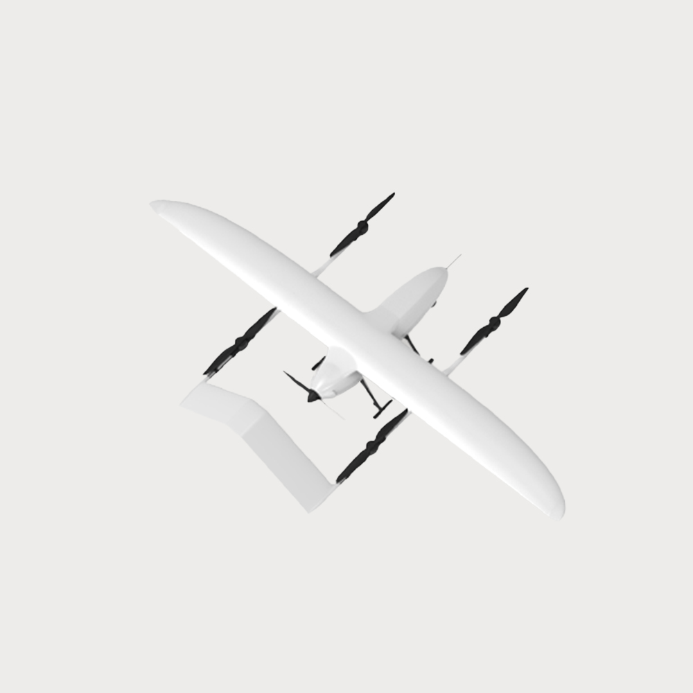
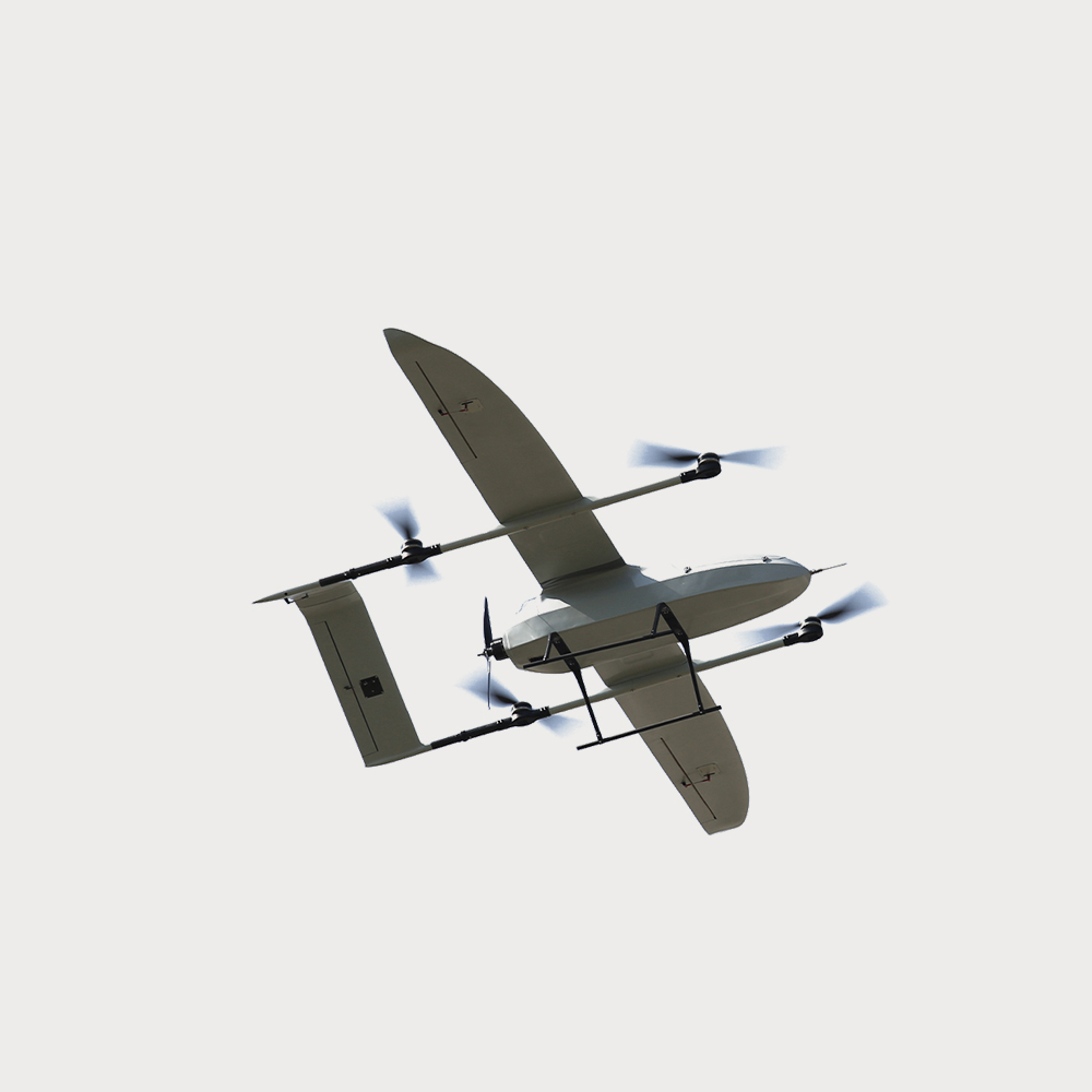
Composite wing UAV VTOL power inspection, pipeline inspection, land mapping
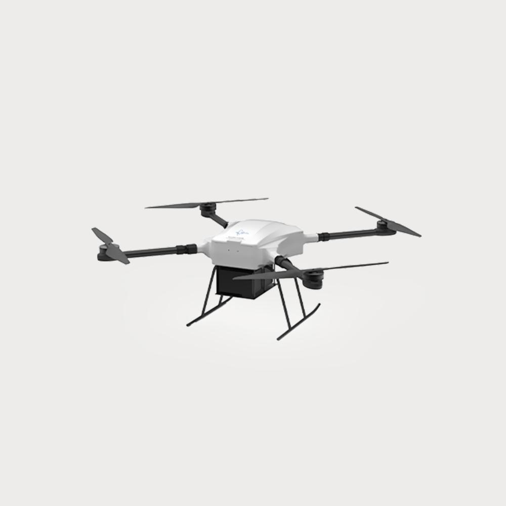
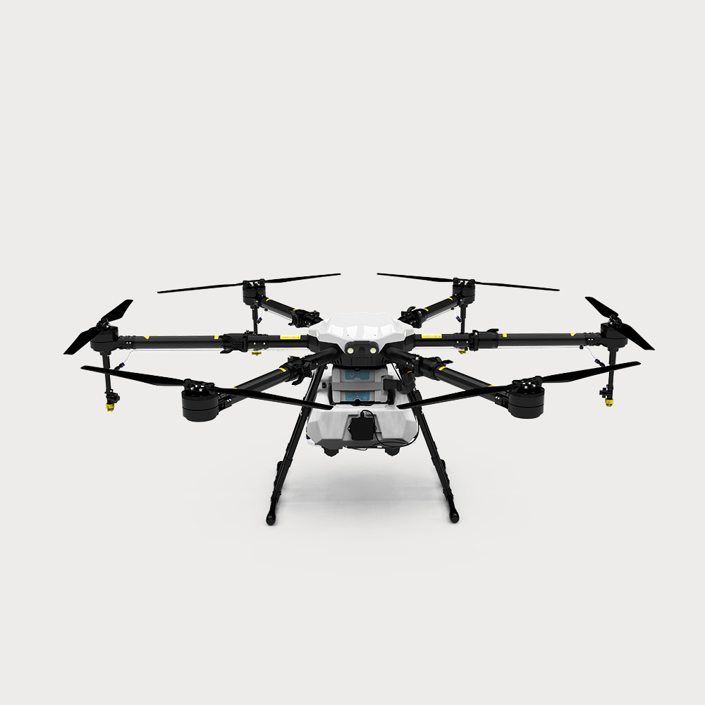
- JR1206 adopts a modular design and is made of carbon fiber composite material. Easy to disassemble and assemble, with both application characteristics of multi-rotor UAV and fixed-wing UAV. It is not subject to the restrictions of landing site and has long endurance. Equipped with relevant task equipment, which can complete power inspection, pipeline inspection, land mapping, forest fire prevention, reconnaissance patrol and other tasks.
- $ 185100
- 0 in Stock NowJR-FC1206
-
Group
JR-FC1206
-
QUANTITY
- Contact Online
Wingspan 3530mm
Length 1900mm (without airspeed tube)
Maximum take-off weight 24.8kg
The maximum load weight is 5kg
Battery life 180min@2kg
Cruising speed 80-90km/h
Ceiling 5000m
Operating temperature: -20°C-50°C
Wind resistance ratingLevel 6 (Cruising Phase)
Tilt camera
Honeycomb Aerospace UAV with tilt mapping camera, can achieve high precision, wide area
coverage and high efficiency aerial photography task. It can adapt to aerial photography tasks
in a variety of weather and natural environment, and can be used in surveying and mapping of
land info, such as emergency and aerial photography, and applied to land ownership
confirmation, real estate registration, pile measurement, highway surveying and other scenes.
Modularized design of the camera body and components, equipped with multiple sensors.
orthophoto camera
Honeycomb Aerospace UAV with orthophoto camera can be used in traditional surveying and
mapping industry, bridges, buildings and other special inspection scenarios. It can realize
microsecond time synchronization between camera, gimbal, flight control andRTK,which can
work without image control. The othophoto camera has a professional mapping lens integrated
with multiple LD low dispersion lenses and multi-layer enhanced nano coating, which can filter
the reflected light of the aerial view Angle, and the aerial film has stable quality, transparent imaging and other characteristics.
Laser radar
Honeycomb Aerospace UAV with laser radar meets the large-scale, high-precision, high-density
point cloud data acquisition, can be used in pipeline inspection, terrain mapping, forestry
resources survey and other fields. To provide data collection, processing analysis, report output
and other system solutions for the industry. Laser radar integrates lightweight multi-line laser
radar, high-precision combined navigation system and visible light camera, which has the
characteristics of high precision, fast mapping and fast scanning speed.

 0
0
