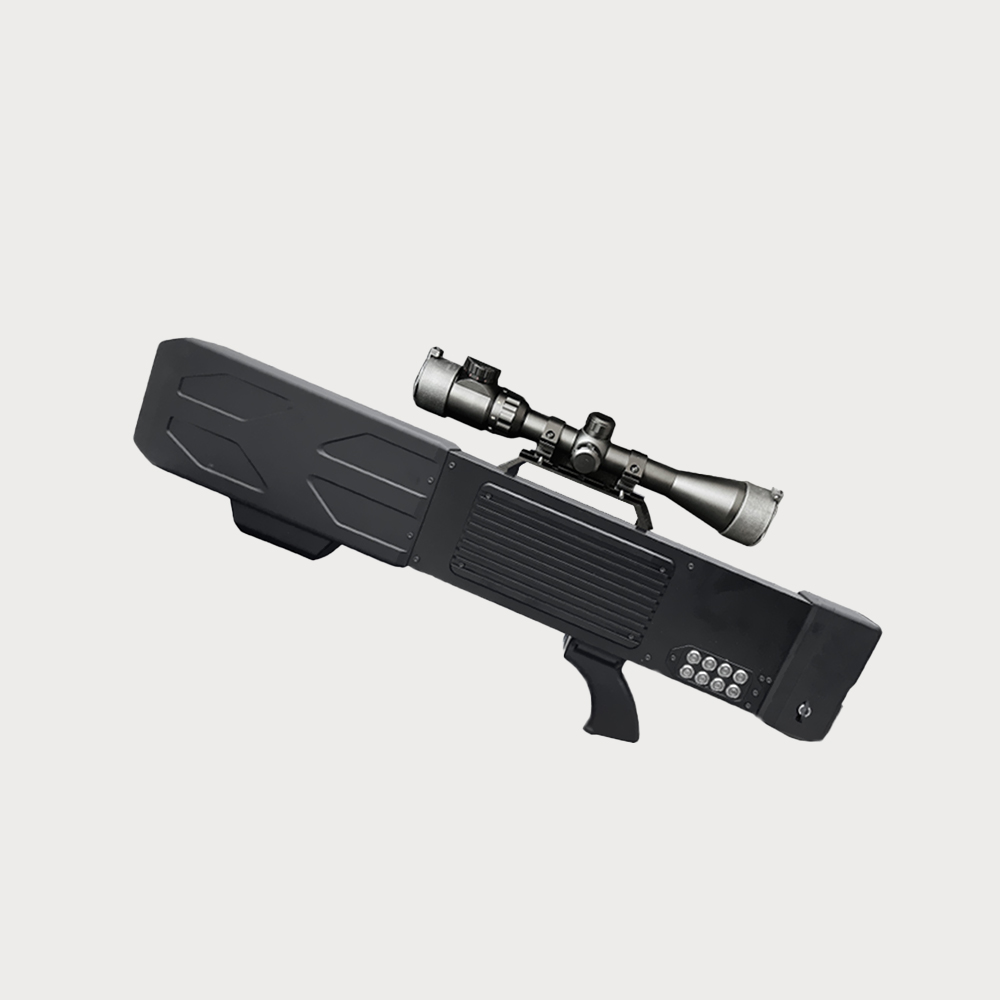
 0
0
-
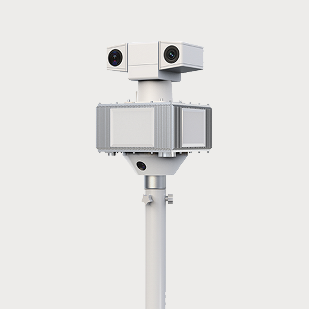
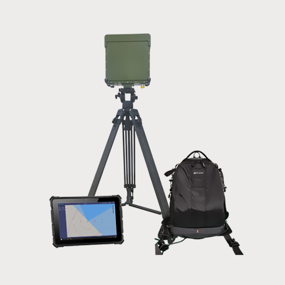
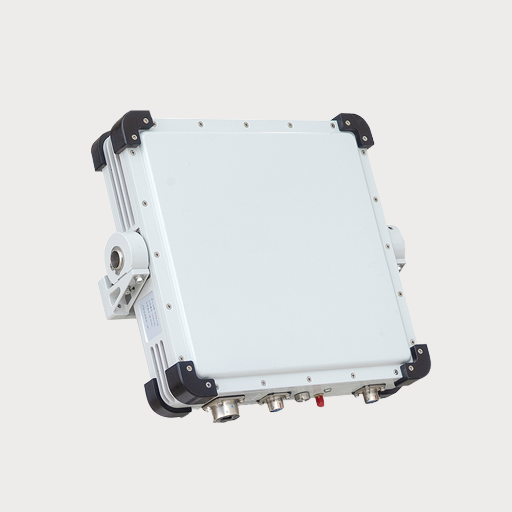
It is used to monitor the detection, early warning and target indication of ships in coastal and inland areas, and can accurately provide target trajectory information.
- This radar is mainly composed of a single independent radar array, used to monitor the detection, warning, and target indication of ships in coastal and inland areas, and can accurately provide target trajectory information.
- $ 44410
- 0 in Stock NowJR-MD1148
-
GROUP
JR1148
-
QUANTITY
- Contact Online
Advantages:Able to accurately monitor target position and trajectory information.
Description:This radar is mainly composed of a single independent radar array, used to monitor the detection, warning, and target indication of ships in coastal and inland areas, and can accurately provide target trajectory information.
Application Fields:used to monitor the detection, warning, and target indication of ships in coastal and inland areas
High Real-time SensitivityFast tracking speed, high accuracy, high data rate, and obvious trajectory tracking
All Weather Protection7*24 real-time protection, suitable for harsh environments such as night, rain, snow, haze, and dust
Portable And LightEasy to install, lightweight, and easy to operate
DBF TechnologyDBF technology can improve anti-interference ability by transmitting multi beam technology