0
  • In order to realize the interception control of UAVs that need to use the navigation system for flight control, so that they cannot fly into the protected area, and ensure the low-altitude safety of the area
  • In order to realize the interception control of UAVs that need to use the navigation system for flight control, so that they cannot fly into the protected area, and ensure the low-altitude safety of the area
  • In order to realize the interception control of UAVs that need to use the navigation system for flight control, so that they cannot fly into the protected area, and ensure the low-altitude safety of the area

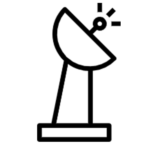
  • Based on the deception of the drone's internal positioning device and the database of restricted and no-fly zones, the drone can react according to its own built-in program strategy. The UAV navigation decoy system transmits simulated satellite navigation signals to navigate and decoy the UAV that intrudes into sensitive areas, so as to realize the defense and control of the UAV. The system mainly injects navigation deception signals into the UAV to realize the control and takeover of the UAV, so that the UAV can be quickly located to a safe area, so that the UAV can fly quickly, get out of the control of the operator, and decoy or set up a no-fly zone to prevent the UAV from flying in sensitive areas and set up a "no-fly zone" for the UAV.
  • $ Inquiry
  • 0 in Stock NowJR-MD1179
  • Group

    JR1179

  • QUANTITY

  • Contact Online

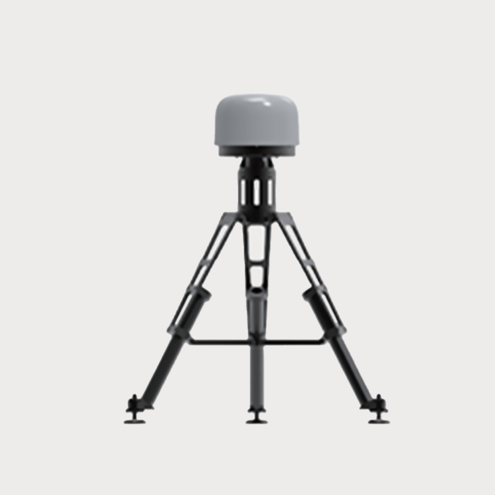
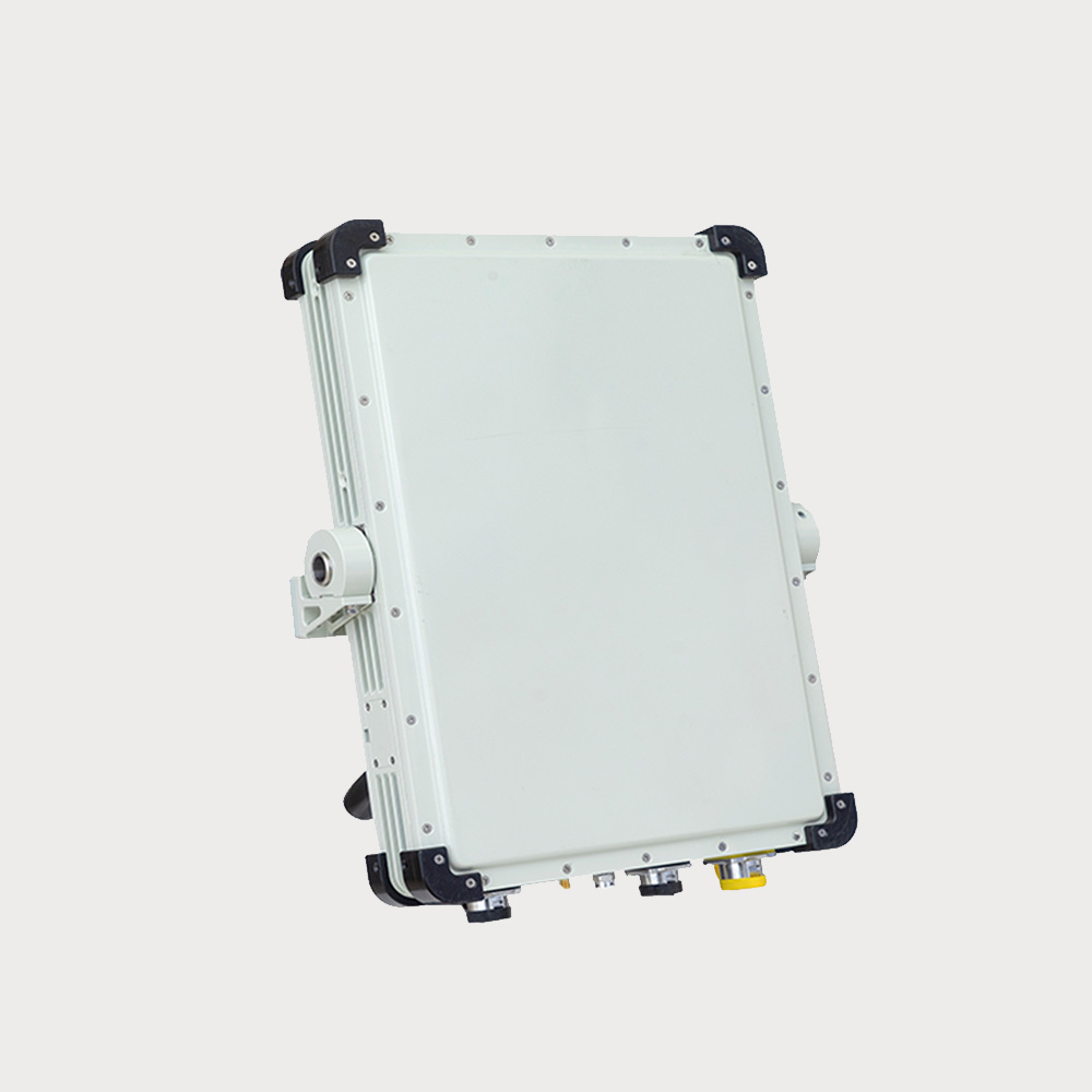
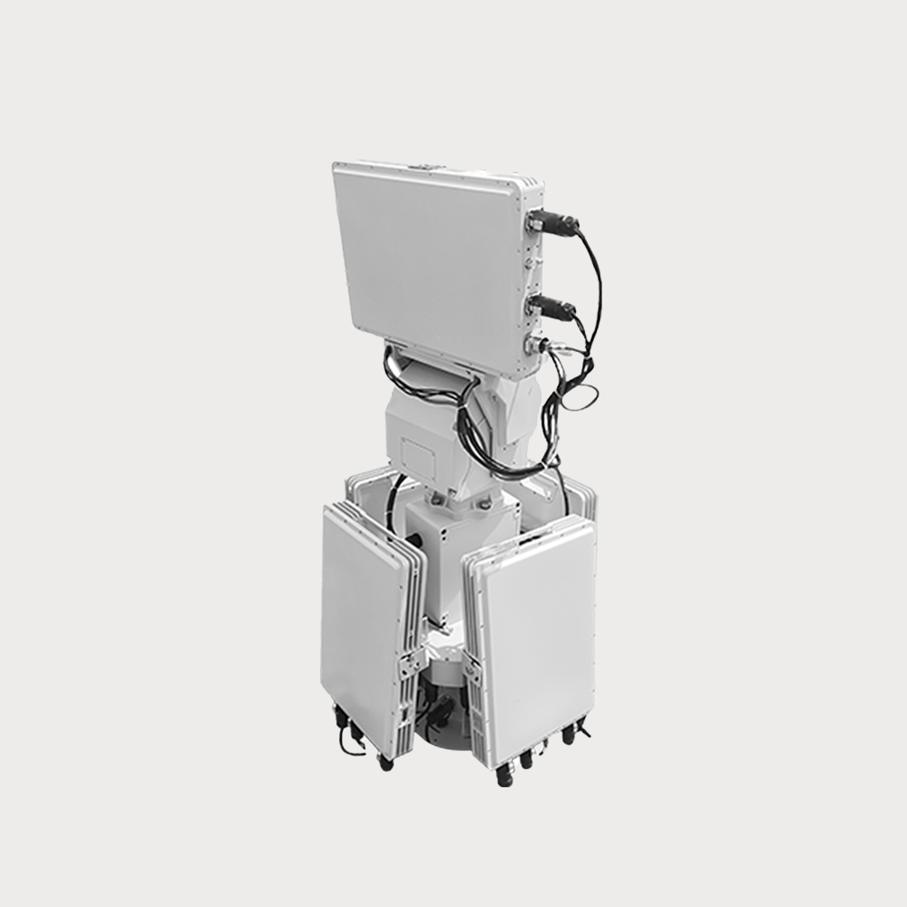
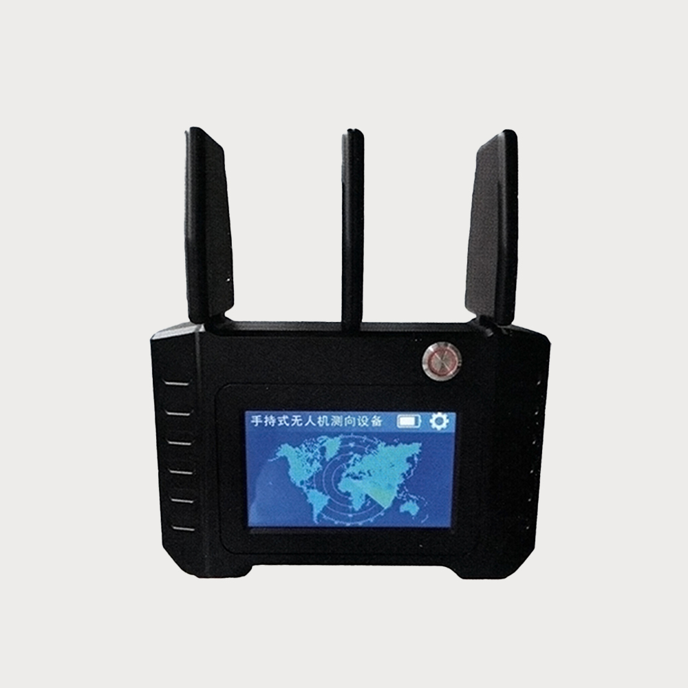
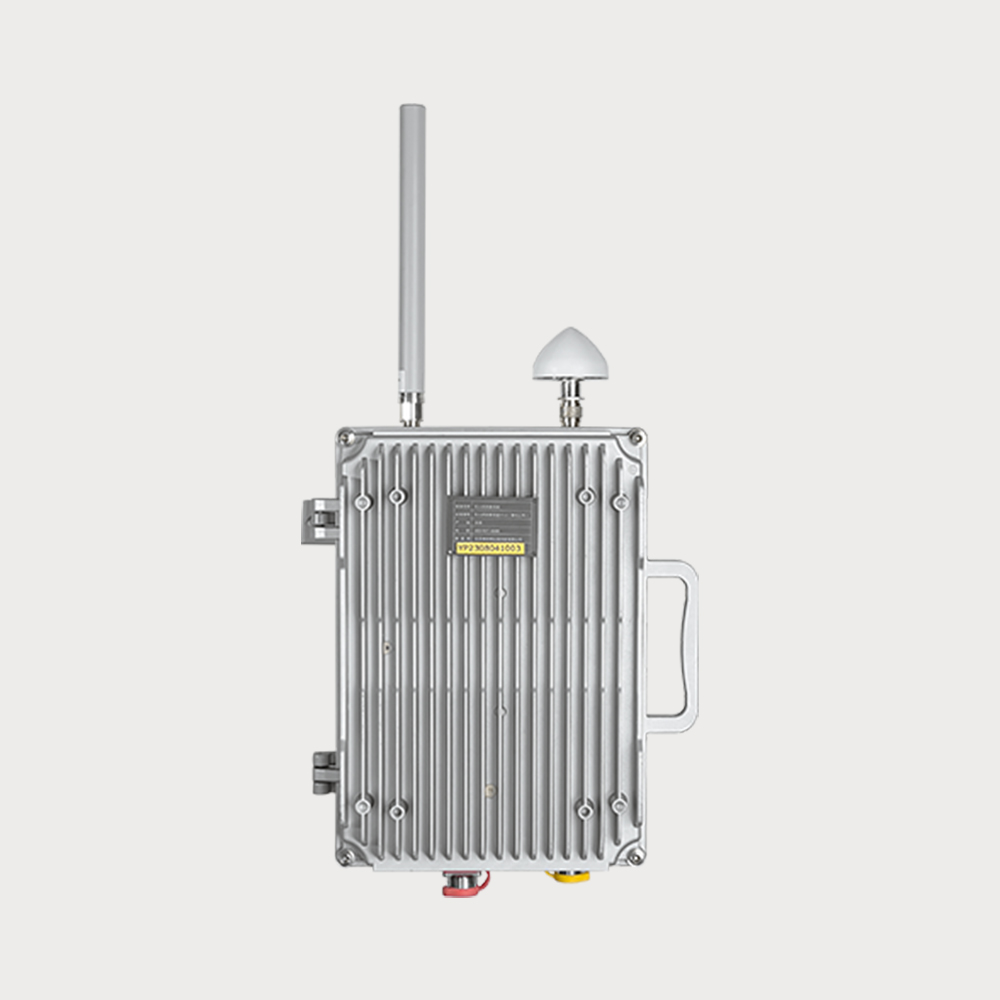
Product function: By regenerating no less than two frequencies of satellite navigation induction signals, the satellite navigation coordinate information received by the UAV using satellite navigation positioning is deceived and interfered with, so as to realize the no-fly zone projection or area denial function.

Intervention distance: more than 500 meters, less than 1000 meters (adjustable within 500 meters).

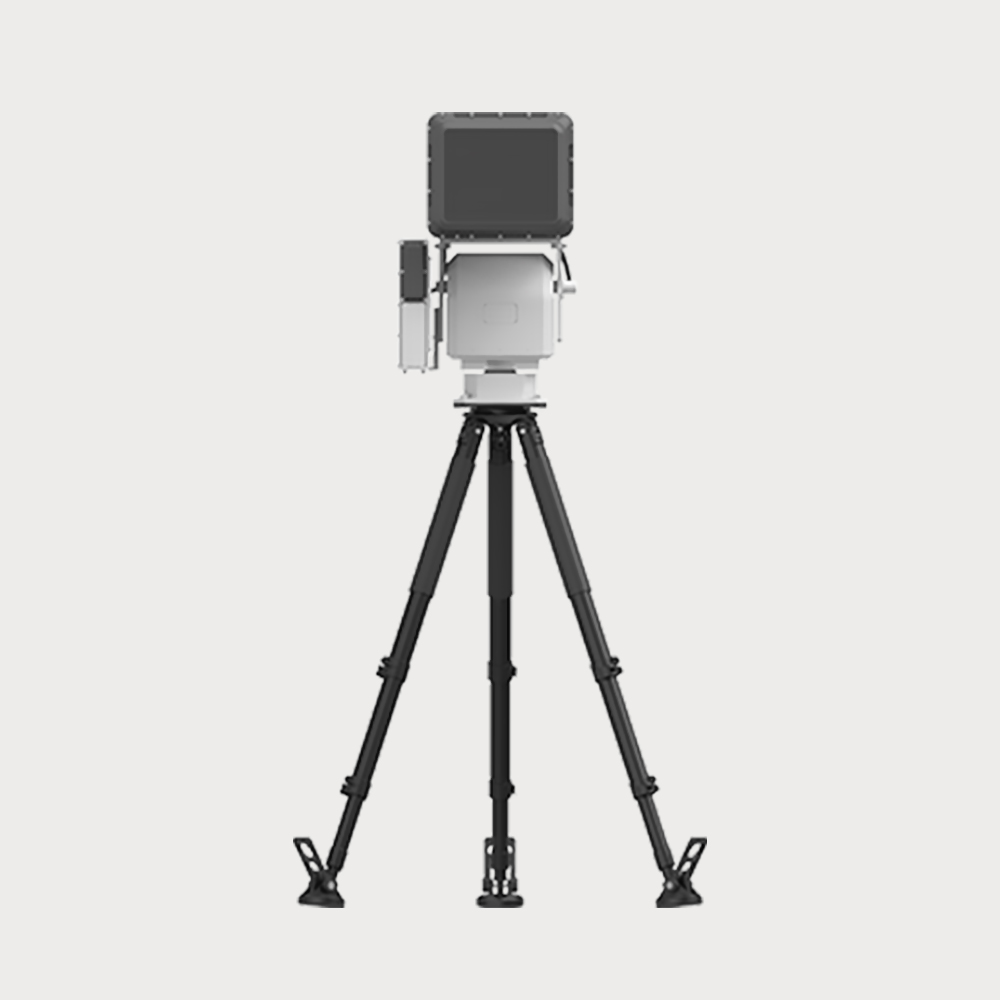
Expansion capability: The system can be extended and integrated with radio detection function, realize the integrated design of detection and decoy, integrate detection and deception functions, and support stand-alone work and networking work.

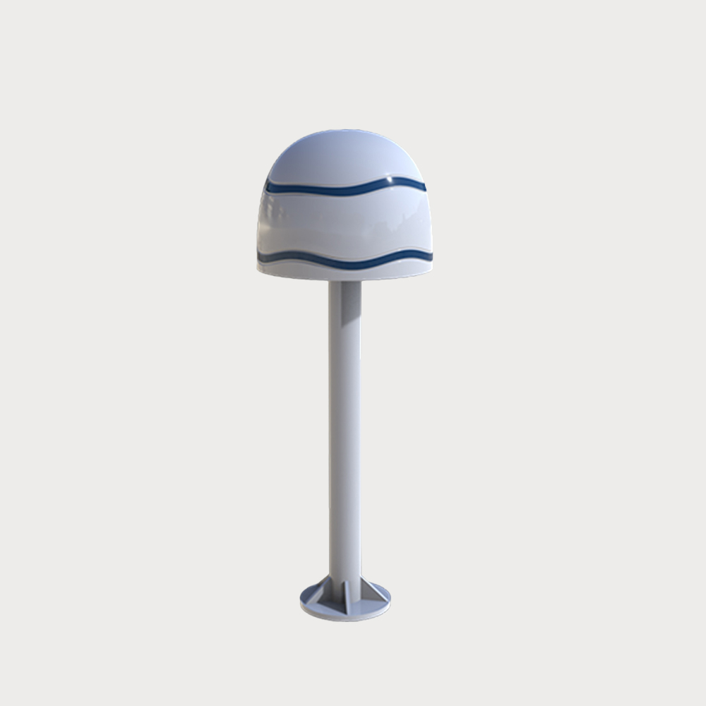
Applicable scenarios: The equipment is suitable for low-altitude protection in power plants, petroleum and petrochemical, public security and judicial fields, that is, it can be deployed with a single device to complete the detection and protection of the defense area, and can also be used as a positioning and detection node when networking, which is flexible and has sufficient space for expansion and promotion.

You May Be Intersted
Lightweight and Portable Unattended Multi-dimensional Accurate Detection Advanced Technology System

Low-altitude surveillance radar is a 3D space surveillance radar for low-altitude, small targets, all-round, high-altitude coverage areas

Low-altitude surveillance radar is 3D space surveillance radar that aims at low-altitude small target, all-around, high elevation coverage area. It is mainly designed for real-time detection and tracking of air vehicle, ground human and vehicle target. Then target information will be transmitted and reported to management and control center. It can be installed by long-term fixed, vehicle mounted and temporary deployment, flexibly apply to different application scenarios.

Inquiry
It can be assembled and used with our company's UAV machine gun to form a more powerful comprehensive defense system. Detection frequency bands

the device has the advantages of direction finding, lightness and flexibility, as well as good durability and reliability.

Detection radius distance 2000m The device has strong scalability, can play a wide range of applications in a variety of scenarios, simple installation, easy operation, detection frequency band 1.0GHz~1.5GHz/2.4GHz~2.5GHz/5.15GHz~5.95GHz。

Inquiry
Accurately transmit the azimuth angle and field of view angle of the target to achieve accurate positioning of moving targets such as drones, vehicles, and ships.

Integrated intelligent detection, tracking, early warning and alarm functions laser fill light intelligent identification of optoelectronics

Laser light intelligent identification photoelectric has 7*24h monitoring capabilities, which can carry out fully automatic zooming, focusing and optical fog transmission in any weather conditions. It can recognize more than 80 types of targets, such as people, vehicles, ships, etc., and provide accurate target detection and recognition. It integrates intelligent detection, tracking, alerting, and alarming for zoom close-ups and captures of visible light images. Its design supports a wide range of monitoring from 0-360° horizontally and ±90° vertically, making it suitable for close-range target detection and tracking. The system can accurately transmit the azimuth angle and field of view angle of the target, and realize the accurate positioning of moving targets such as drones, vehicles, and ships.

Inquiry
Ease of use and variety of scenarios Detection and combat all-in-one equipment

By interfering with the UAV's control system and communication link, the UAV is forced to land or return

JR-MD1181 is an integrated UAV detection and countermeasure equipment that has been deeply developed. The equipment is designed to focus on the convenience of use and the ability to adapt to different scenarios, providing a variety of installation options such as portable use, fixed installation and roof installation, and can form 360° all-round coverage of X4 to meet the needs of different application scenarios.

Inquiry
All-weather, All-round Composite Passive Positioning Technology  High Design MaturityHigh Strong Environmental Learning Ability

The equipment is based on AOA+TDOA composite positioning technology, and has the functions of detection and early warning, model recognition, positioning tracking and trajectory playback of UAVs inside and outside the multi-station range

The full-frequency detection equipment is mainly composed of an array antenna, a radio frequency circuit, a multi-channel synchronous receiver, a GNSS positioning module, etc. The equipment is based on AOA+TDOA composite positioning technology, and has functions such as detection and early warning, model identification, positioning tracking and trajectory playback of drone within and outside the range of multiple stations. Any number of detection devices can be freely expanded according to the scope of the monitoring area.

$3340
Disabling the drone's satellite navigation, wireless remote control, and wireless video transmission links forces the drone to hover in place, land, or return to the original route. Compared to omnidirectional jamming, the strike is accurate

Compared to omnidirectional interference, the targeting is more precise, the impact on the surrounding environment is minimal, and the reliability is higher.

The device is mainly used for signal interference of UAV, and can be combined with the detection equipment of UAV to form an intelligent linkage defense system.

$97110
This radar is mainly composed of a single independent radar array, used to monitor the detection, warning, and target indication of ships in coastal and inland areas, and can accurately provide target trajectory information.

Detect, warn, and indicate target areas, and accurately provide target trajectory information

This radar is mainly composed of a single independent radar array, used to monitor the detection, warning, and target indication of ships in coastal and inland areas, and can accurately provide target trajectory information.

$55510
Quickly determine whether there is a target and obtain information about the distance and number of targets

It can penetrate non-metallic obstacles such as building walls and detect targets for people behind them

Hand-held Ranging Through Wall Radar CEM100 is a single-soldier hand-held one-dimensional ranging penetrating reconnaissance equipment, which can penetrate non-metallic obstacles such as building walls to detect the target of people behind it, quickly determine whether there is a target, and obtain the distance and number information of targets.

$3061
Shop by Categories